Jakob Frank · 4 November 2026
Willow Bay Divers Document Shipwrecks to Track Evolving Seabed Landscapes
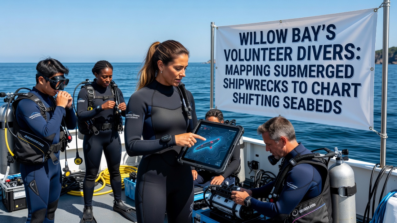
Volunteer divers in Willow Bay have expanded their efforts to locate and record submerged shipwrecks while measuring changes in the surrounding seabed, and the project has generated detailed charts that update local navigation and environmental records through November 2026. Local teams coordinate with regional marine agencies to collect sonar readings and visual surveys that reveal how shifting sands and currents alter wreck positions over time, while data from these dives feeds into broader coastal management databases maintained by state authorities.
Project Origins and Current Scope
Researchers at regional universities first identified patterns of seabed movement around known wreck sites in the early 2020s, and volunteer groups formed shortly afterward to gather consistent underwater measurements. Divers now operate from small vessels equipped with side-scan sonar units and GPS markers, and they log coordinates for each wreck along with sediment depth readings taken at multiple points around the hulls. Training sessions occur monthly at the Willow Bay harbor facility, where participants review safety protocols and practice transect swimming techniques that ensure uniform data collection across different weather conditions.
By late 2026 the volunteer network had catalogued 14 wreck locations within a five-mile radius of the bay entrance, and several sites showed measurable sand accumulation that raised the seabed level by up to 1.2 meters since initial surveys. These observations align with sediment transport models published by the National Oceanic and Atmospheric Administration, which predict similar accretion rates in sheltered coastal pockets along the eastern seaboard.
Methods Used by the Volunteer Teams
Divers descend in pairs and follow pre-planned grid lines marked by weighted lines on the seafloor, while one team member operates a handheld sonar device that records distance to the wreck structure and another records video with scale markers. Surface support personnel monitor real-time position data transmitted via buoy-mounted receivers, and any deviations from planned transects trigger immediate corrections to maintain mapping accuracy. Post-dive processing involves stitching video frames into orthomosaic images that highlight structural features and surrounding sediment contours, and these outputs undergo cross-verification against historical charts archived at the Willow Bay maritime museum.
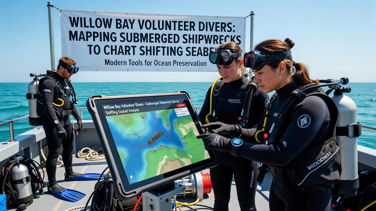
Equipment calibration happens before each outing using reference plates placed at known depths, and all raw files upload to a shared cloud repository accessible to participating researchers. Data validation protocols require at least two independent reviews of each transect before inclusion in the master database, and discrepancies prompt follow-up dives within 48 hours when weather permits. The process has produced a cumulative dataset exceeding 8,000 individual measurement points that document both wreck outlines and adjacent seabed elevations.
Integration with Regional Coastal Studies
Local findings contribute to ongoing research coordinated by the Australian Institute of Marine Science, which compares Willow Bay results with parallel projects in the Great Barrier Reef region where similar volunteer mapping supports sediment dynamics modeling. Analysts note that consistent volunteer participation has reduced per-site survey costs by approximately 40 percent compared with fully staffed agency operations, allowing more frequent updates than traditional funding cycles permit. Charts generated from the combined datasets now inform updates to nautical publications issued by the U.S. Coast Guard, and several navigation waypoints have been adjusted to reflect newly documented sandbars forming near older wreck sites.
Community workshops held at the Willow Bay library present summarized maps and discuss how seabed shifts affect local fishing grounds and recreational diving safety. Attendance records indicate steady growth, with over 120 residents participating in the most recent session held in October 2026. Educational materials distributed at these events include simplified transect diagrams and explanations of sonar principles that volunteers use during dives.
Conclusion
Continued volunteer mapping through the remainder of 2026 will add seasonal measurements that capture winter storm impacts on the same wreck sites, and project coordinators plan to release an updated public atlas incorporating all collected data by early 2027. The effort demonstrates how sustained community involvement can generate reliable environmental records that support both scientific analysis and practical navigation updates without requiring large institutional budgets.